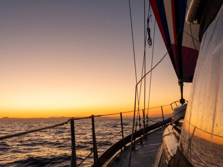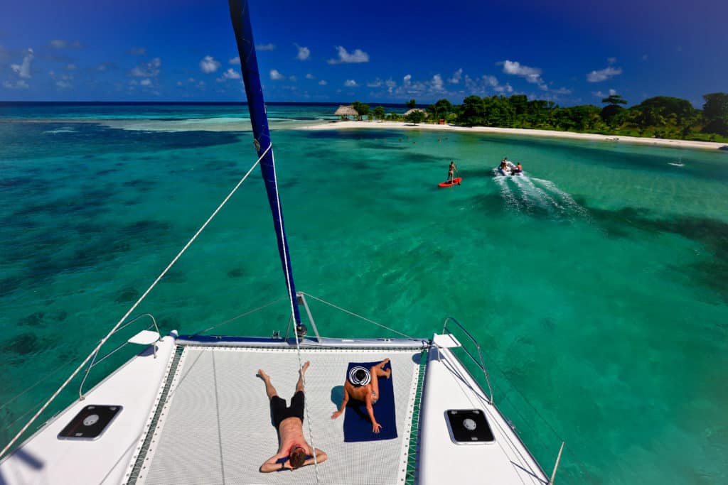
If the prospect of near-perfect broad reaching in steady trade winds, combined with snorkeling and diving from the world’s second-largest barrier reef and nearby atolls, is too tempting to pass up, then don’t! Belize is the destination for you.
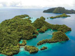
Situated on the western border of the Caribbean Sea, the former British Honduras is south of Mexico and northeast of Guatemala, in Central America. Its reef and some 450 islands are all teeming with marine life.
Reef Reserve System
The entire barrier reef, which runs from the northeast tip of the Yucatan Peninsula in Mexico to Sapodilla Cay, in southern Belize, is more than 350 nautical miles long. The Belize portion, more than 180 nautical miles long — a jagged mass of coral about 15 miles off the coast — runs south from the north tip of Ambergris Cay to the Gulf of Honduras. In 1996, it was designated a UNESCO World Heritage Site and formally named the Belize Barrier Reef Reserve System.
To the west of the reef, on a limestone shelf, sit shallows that range from 3 to 70 feet deep, but 15 feet in enough areas to accommodate cruising sailboats. Prevailing winds clock primarily from northeast to southeast. To the east of the reef, starting 8 miles out, are three coral atolls — Turneffe, Glover’s Reef and Lighthouse Reef — rarities in the Western Hemisphere, whose base formations are tied to tectonic plate movements that created the reef. All are protected as part of the reserve system.
Pristine Cruising Ground
The bareboat cruising area, which extends from Placencia in the south to Ambergris Cay in the north, is about 140 square nautical miles. Sailing beyond the barrier reef or within it at the southernmost reaches generally requires a local skipper aboard. Check with your charter company. From the deck, landmasses appear lush and low, predominantly mangrove vegetation and flat, palm-studded cays. Passages can be short or long, and navigation is line of sight. The predominance of reef and shallows and less-than-accurate charting demand a vigilant bow watch. Complete reliance on waypoint navigation is discouraged.
Where to Go
Highlights of a bareboat itinerary south to north from Placencia can include stops at Tobacco Cay and its Reef’s End Lodge (reefsendlodge.com), Bluefield Range, Rendezvous Cay and Sergeant’s Cay. Not to be missed is a visit to the Hol Chan Marine Reserve (holchanbelize.org) and Shark Ray Alley. Hol Chan is also part of the national reserve system.
If you hire a local skipper, your sailing grounds can extend to the atolls. Among highlights at Lighthouse Reef are snorkeling and diving at the Great Blue Hole, an immense limestone sinkhole 1,000 feet across and more than 400 feet deep. While at Lighthouse Reef, be sure to visit Half Moon Cay Natural Monument, which hosts 98 resident bird species, including the red-footed booby. Other destinations attainable with a guide are Laughing Bird Cay and the Sapodilla Cays.
What to know if you go
Climate: Year-round temperatures range from the mid-70s to mid-80s F. While the season extends from November to May, some say the best months are March and April, after winter northerlies pass. In the absence of tropical storm systems, August and September can be spectacular.
Winds: Throughout the reef, easterlies blowing 15 to 20 knots kick up a short chop and are enough to keep die-hards content. You can find protection from the wave action of the open Caribbean to the west of the reef.
Sailing Level: If you have basic coastal and navigation skills, you can sail behind the cays and reef of Belize. Passages are short, and waves inside the reef are minimal. A vigilant bow watch among the shallows and reefs is necessary, as are solid anchoring skills. Beyond the reef, you must bring a skipper. All bareboat charter sailors in Belize must obtain a temporary certificate of competency.
CW editor-at-large Elaine Lembo writes about chartering.

