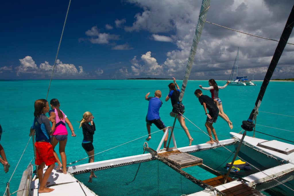
Choosing a route across an ocean can be highly personal. Sometimes you need to give sway to dreams and fantasies, visiting far-flung destinations that are lodged in your heart, perhaps inspired by a magazine article or a story you once heard. Sometimes the beaten path is the way to go: following a rally, or the season, to points known. But sometimes you sail a route you never intended to take at all.
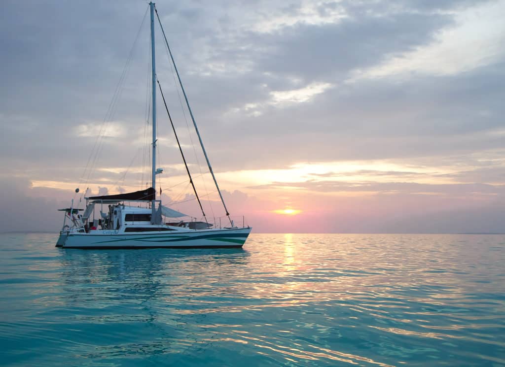
Years ago, when my husband, Evan, and I originally planned to go cruising with our daughter, Maia, our hope was to continue on from Southeast Asia through the Gulf of Aden and the Suez Canal and into the Mediterranean. But heading into what is now a known pirate region struck us as risky, so we chose not to take our 40-foot Wood’s Meander catamaran, Ceilydh, (or our teenage daughter) into the danger zone.
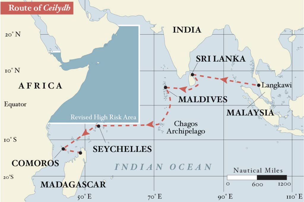
This left crossing the Indian Ocean to South Africa, either on the southern route, which most boats still take — from Cocos Keeling to the Mascarene Islands, past Madagascar, and arriving in South Africa in time for the milder summer months (November to February) — or, thanks to the diminishment of piracy and a recently revised “high-risk area,” on the northern route, which we took. About 30 boats made this passage in the 2015 season. Our journey began in February of that year, took almost nine months, straddled two cyclone seasons (May to July in the North Indian Ocean and December to April in the south), and gave us a chance to visit some pint-size countries and remote atolls. From Langkawi, Malaysia, we sailed to Trincomalee, Sri Lanka. After a few weeks there, we spent time in the Maldives, a chain of 1,192 islands where they speak Dhivehi and spend rufiyaas.
Then it was Chagos, part of the British Indian Ocean Territory, where no one but researchers and sailors in transit across the Indian Ocean is currently permitted to visit. Next we sailed on to the Seychelles, with its granite peaks and gorgeous beaches; Comoros, the third-smallest African nation by area; Madagascar; Mozambique; and South Africa.
Our 13-year-old daughter, Maia, accused us of choosing the route as a geography lesson, especially after we admitted we’d never heard of Comoros. In truth, we were swayed by the fact that four other “teen boats” would be making the trip at the same time as us. If we were going to journey into the dual unknowns of adolescence and the Indian Ocean, why not do it in company?
Off with a Bang
Even though it’s known as an ocean of big weather and strong currents, it was the threat of pirates that caused a drop in the number of cruisers willing to take on the Indian Ocean. Recently there’s been an international effort to control piracy, and while our proposed route technically put us inside the “box” where yacht insurance wouldn’t cover us for such acts, shipping assessments showed we were steering clear of the dangerous areas.
During our 1,100-nautical-mile passage from Langkawi to Trincomalee, pirates were indeed the farthest thing from my mind on a star-filled night when we collided with something solid.
Whatever we struck stopped us with a jarring shudder but thankfully didn’t penetrate the hull. We later learned we’d breached our port false bow and taken a chunk out of our daggerboard, but that night, reassured all was well, Evan and Maia headed back to sleep. Charlie the cat and I hunkered down in the moonlight and peered into the distance, scanning the horizon for boats.
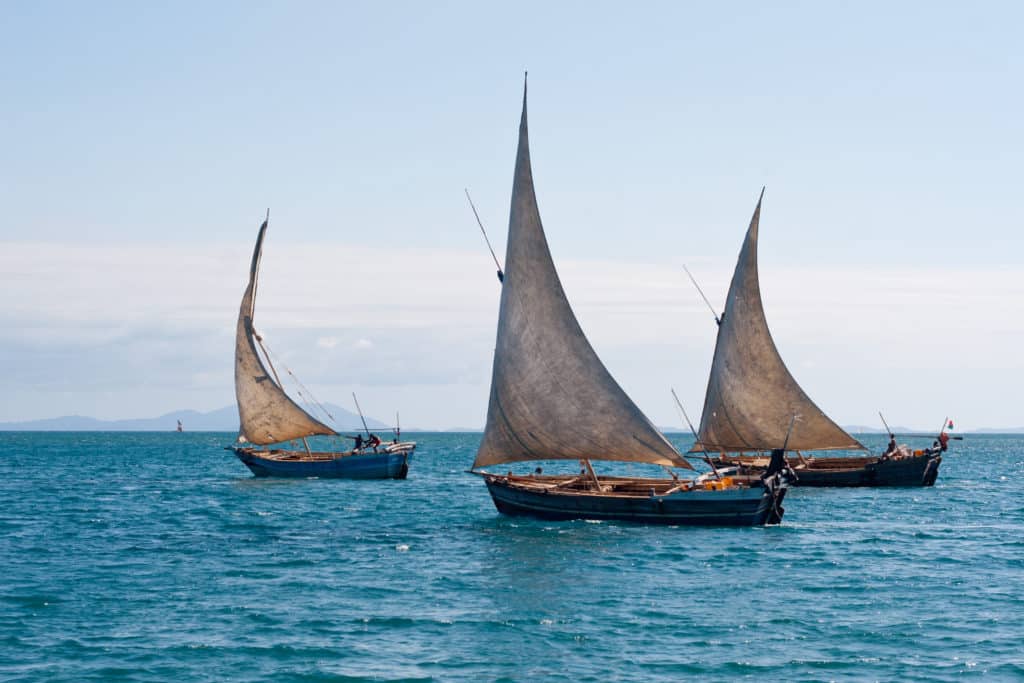
The first vessel we spotted on this passage appeared on Evan’s watch just as we closed with the Sri Lankan coast. Friends on other boats had mentioned that Sri Lankan fishing crews love to trade, but having a brightly painted craft with a waving crew make a beeline toward you is still intimidating. Happily, the trade resulted in a large mahimahi in exchange for a container of orange juice.
The next morning we were welcomed into Trincomalee by officials who were clearly bemused by the relatively large number of yachts that were suddenly making the once off-limits harbor their Sri Lankan port of call. While the east-coast anchorage is great, until additional ports are opened to cruisers, the big reason to visit Sri Lanka is the inland travel. In a weeklong trip, we covered tea plantations, national parks, ancient cities and more. Highlights included cycling among the early Buddhist stupas in Anuradhapura and seeing a leopard in Wilpattu National Park.
Reasoning with Monsoons
Lasting six days, the 720-mile passage from Sri Lanka to Uligamu, Maldives, was the slowest we’d ever made. It also helped establish the pattern that endured for the Indian Ocean, where sailing alternated between too little or too much wind, with too few miles gained in the sweet spot of 12 to 20 knots.
The clear water, pretty reefs and white sand beaches of Uligamu almost made up for the hours spent drifting there in steamy weather. Jumping in almost as soon as we arrived (after checking when the officials were due), we found ourselves eye to eye with unicorn fish and surgeonfish. A short time later our agent, Assad, arrived along with the officials, a gift of ice cream, and the kind of unfiltered openness we discovered was characteristic of Maldivians. Want to know a Maldivian’s take on religion, politics or multiple wives? Just ask.
Planning our route through the Maldives was made more fascinating because of a change in the tourism laws. Until 2010, when the new laws went into effect, most villages were off-limits. Sailors were allowed to visit only a few select ports and, if they felt like splurging, a couple of restaurants at the 112 secluded private-island resorts. But changing laws led to new cruising itineraries. Not only could we explore uninhabited islands and the tried-and-true ports of Uligamu, Kulhudhuffushi, Hulhumale and Gan, but the whole country was suddenly accessible.
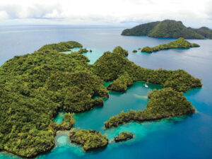
This meant we had the run of hundreds of islands, scattered among 26 atolls running down the country’s 520-nautical-mile length. Because only a few are highlighted in any sort of cruising guide or have all-weather anchorages, a visit to the Maldives required a combination of old-fashioned adventurous seamanship and the judicious use of modern technology: We checked the charts to pinpoint a potential anchorage and then downloaded images from Google Earth to help with navigation.
Understanding the weather was our next step. Since ancient times, the Maldivian people have organized their lives around two seasonal monsoons. The northeast monsoon, called iruvai (which means “hot and dry”), is characterized by relatively gentle winds that are lovely for sailing. The southwest monsoon, called hulhangu (“hot and wet”), typically features storms and strong winds. Historically, hulhangu starts the second week of April, but the local fishermen told us climate change is altering the monsoons and warned us to keep a constant eye on the weather.
Cruising permits run for 30 days in the Maldives, but we were spending two months exploring the country, so we stopped in the capital, Malé, to renew our cruising permit and provision in the country’s bigger grocery stores. We’d spent the previous month trying to come up with the perfect balance of uninhabited islands, remote villages and tourist activities, and our second month would be more of the same.
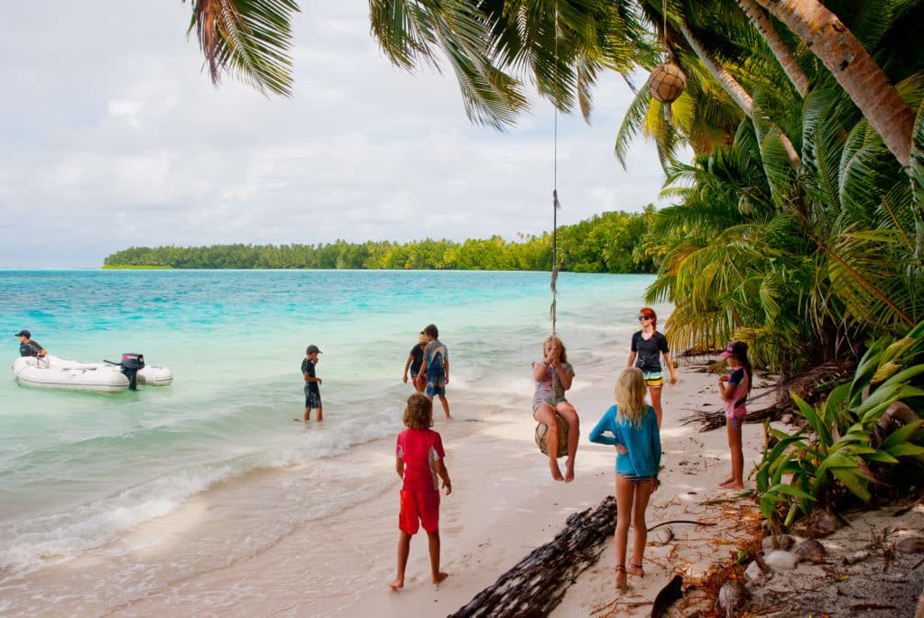
After a week in built-up Malé, we headed to an uninhabited island in Ari Atoll, where a pod of dolphins became the main attraction after we discovered they would swim near us whenever we dived on the reef. From there we visited a small village where we befriended Mashood, a local who invited us to his home for a dinner of mas huni (spicy tuna and coconut), garudiya (fish soup) and barbecued fish. Then it was another uninhabited island of pared-down beauty, with shady palms, white sand, iridescent lagoons and abundant reefs, and then another small village, where we learned the ancient Maldivian game of bashi ball.
South of the Equator
As April pushed into May, we continued south, deeper into the hulhangu. As we neared the equator, the weather continued to flip-flop between postcard-perfect and not at all nice. Our favorite anchorages had what we dubbed “catamaran parking” — shallow shelves of coral-free sand that offered good holding when multiday squalls gave us whiteout rain and gusts to 50 knots. Off one village, we had a daily visit from a fishing boat that came by to offer fresh mangoes and to advise us to stay where we were, warning that the seas in the Equatorial Channel were too rough for transit into the Southern Hemisphere.
Finally the weather eased, and we made our way to Addu Atoll, the southernmost in the Maldives. We wanted to buy four to five weeks of fresh provisions before continuing to Chagos, where we’d spend the transition time between cyclone seasons. The first clue that this might be a challenge was when storekeepers would only sell us four eggs at a time (and when tested, about half of these were rotten); then we discovered there was a general shortage of everything from apples to zucchini.
The same weather that kept us harbor-bound had delayed the supply ships, and several boat crews had been waiting more than a week for fresh food. Locals were waiting as well, and every time a supply ship came in, there was a race to the grocery stores to buy up whatever was available. Eventually Evan and I headed out individually, and we both struck gold. Suddenly we had more than 120 eggs and enough extra potatoes and onions to make us popular in Chagos.
For cruisers, Chagos’ Salomon Atoll is a fabled stop. It’s found 300 miles south of Gan and requires proof of medical evacuation and wreck removal insurance, as well as a 50-pound weekly fee to get a 28-day yacht-in-transit permit. Once there, we weren’t allowed unlimited run of the place, but we could travel between Ile Takamaka, with its lush bird life, dolphins and manta rays, and the old Chagossian settlement on Ile Boddam, with its wells, crumbled jail, abandoned hospital and ruined church.
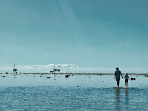
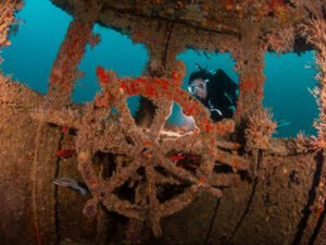
In 2010, a marine protected area was created that covers the territorial waters of the Chagos Archipelago, which has resulted in a rebounding of fish, shark and seabird populations and a reef that’s considered one of the most pristine in the world. On one snorkeling trip, we attracted the puppylike attention of a young blacktip reef shark and a green turtle. As Maia swam and dived with the turtle, we were mesmerized by the colors around us: Fluorescent lime green, pink, purple and blue corals sprouted like wildflowers across the seafloor, each one a more extraordinary shade than the last.
Green Mountains, Shopping Malls
After almost four months of sailing in the low-lying atolls of the Maldives and the Chagos Archipelago, when we first spotted the 2,969-foot Morne Seychellois, it seemed so gargantuan and unreal, it was almost as though we’d forgotten what elevation looked like.
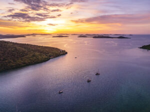
We didn’t know much about the Seychelles when we added the country of 90,000 to our Indian Ocean cruising itinerary, other than that it had famed beaches and is the endemic home to a sensuously shaped coconut called the coco de mer. But, like the rest of our journey, the country of 115 islands turned out to be a wonderful surprise. A gorgeous combination of mountainous terrain, white beaches, coral reefs and cozy anchorages, the Seychelles seems like it was created with sailors in mind.
The Seychelles also had dentists, which, after three months of a toothache, Evan was happy to see. I was excited about a hairdresser, and Maia was thrilled with the clothing stores.
Where we were moored in Port Victoria, our closest neighbors were a number of newly hatched chicks in a heron rookery. Each day we’d admire the awkward young birds, but the speed with which the chicks grew made us realize the days were flying by.
Eventually, it was a hike up one of Mahé’s gorgeous trails that convinced us it was time to go sailing again. As well as boasting rare carnivorous pitcher plants, the Glacis Trois Frères trail offered a magnificent view of the easterly islands in the archipelago, including Praslin and La Digue. It was this vista that sent us to the grocery stores to stock up and then to the port captain to check out, first for the outer islands and then for Comoros.
Windy Ride to Comoros
We don’t have a wind-speed indicator, but the boats around us on our 800-mile upwind passage from the Seychelles to Comoros did. And my ear became calibrated. At 25 knots, the wind was a high-pitched moan that resonated at the same frequency I grind my teeth; 30 knots clenched my stomach and sounded to me just like anxiety.
I found 20 knots much more comfortable. Fewer waves crashed into or washed over us, and both the cat and I could venture out of our seasick haze long enough to drink water and eat something. Fifteen knots sounded like exhaling — short lulls where the seas uncrumpled, and we could sail without crashes and bangs and a clenched jaw. Most of the passage was under staysail and double-reefed main, a few square meters of canvas catching all the power of the Indian Ocean wind as it compressed over Madagascar and hit Africa. We could have used some of that breeze earlier in the season. The best part of a hard passage is the last few miles, after you sight land and, if you’re lucky, the wind and seas drop to the point where you can catch your breath and prepare for arrival formalities. Our landfall in Anjouan, Comoros, was perfect: The wind decreased to 10 knots, and the seas settled from over three meters to one. We had calm weather to tidy up, shower, and wash salt off the ceiling from when a wave had broken over the cabin, bouncing up through the cockpit and in through the companionway.
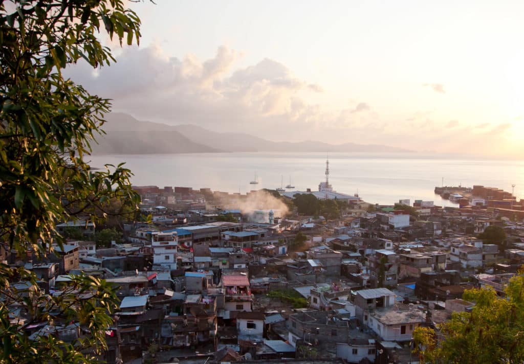
Comoros is 99 percent Muslim and one of the poorest countries in the world. The population speaks some French but mostly an Arabic dialect of Swahili. The economy is primarily agricultural, with people growing vanilla, cloves and ylang-ylang. Despite experiencing more than 20 coups since independence from France in 1974, the country is currently peaceful.
Between the challenges of getting there and checking in, Comoros isn’t an easy destination. Yet after we got past details like arrival procedures (and costs) that seemed set at the whim of the officials, the fact that there’s no official garbage collection (much of it is burned at the edge of the sea or dumped into ravines), and the unusual version of French spoken there, we found that Comoros was exactly the kind of destination we had set off to find.
From the way the wind smells like tropical flowers and the streets are scented with cloves, to the bright colors the women wear and the way the kids wave from dugout canoes, Comoros is almost cliché. The market is vibrant, the old town is intriguing, and the people are quick to smile and laugh (and return your change when you overpay and walk away).
Into Africa
Comoros was the transition in our journey across the Indian Ocean. The quick 235-mile hop to Madagascar felt less like a division than our previous passages had. It was here that some of the 60 or so boats from the southern route converged with the northern-route boats and turned Nosy Be’s harbor into a colorful “we’ve almost crossed the Indian Ocean” party, set to a Malagasy beat. There was one more complicated crossing to go. But before we set out on a perfect sailing breeze, we had spiced rum to taste and lemurs to visit.
Maybe not knowing where you’re going isn’t such a bad thing. Cruising seems to be so much about preparing (and sometimes overpreparing) that it can be easy to miss the adventure of simply setting sail and seeing where life takes you. The northern route across the Indian Ocean has too much wind, and too little wind, and too much bureaucracy. It’s also beautiful and friendly and colorful. It’s a perfect cruising experience and a difficult one. It’s a route I’d recommend with my whole heart.
After stops in South Africa and Namibia, Diane Selkirk and her family are heading out across the Atlantic aboard their 40-foot Wood’s Meander catamaran, Ceilydh.

