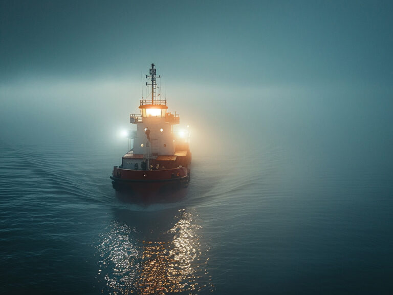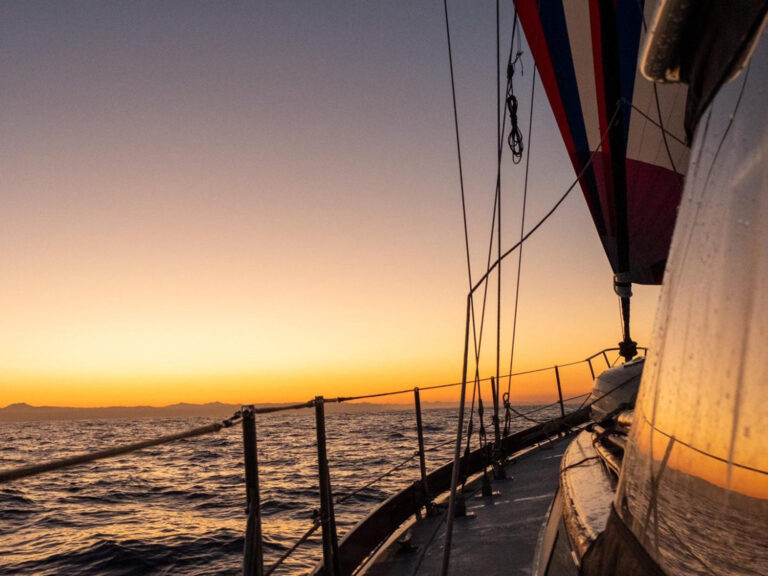
For three days in the fall of 1834, dense fog made it impossible to shoot the sun at midday. The navigator of the ship Margaret, bound for Canada from Europe, deduced by dead reckoning that they’d passed Cape Race on Newfoundland. Three hundred nervous immigrants from Ireland were surely ready to put the infamous Cabot Strait behind them. Running fast before a strong southeasterly, Margaret was closing fast on the Gulf of St. Lawrence.
And then: disaster.
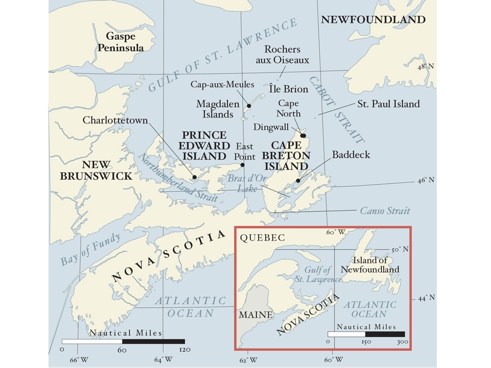
Just a day later, Margaret slammed into the cliffs of St. Paul Island, 14 miles north of Cape North on Cape Breton Island. Miraculously, all of the passengers and crew made it ashore alive. The four vessels that wrecked on St. Paul a year later weren’t as lucky. Not a single person survived.
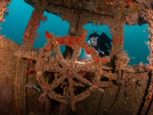
John Cabot gave St. Paul its name in 1497; the first Europeans settled on nearby Cape Breton a couple of centuries later. By 1837, due to the increasing number of shipwrecks, lighthouses were erected on each end of St. Paul and a lifesaving station was established. On foggy days, the lighthouse keepers fired cannons to ward off approaching ships. Even so, hundreds of vessels piled into St. Paul. Today, scuba divers have collected centuries’ worth of wreckage.
On our annual trips northward to Labrador and Greenland, when running fast before a summer southwesterly on our Mason 44, Frances B, St. Paul slipped by as a ghostly shadow. Later, heading south with an autumn norther, it rimmed the horizon as a clear-cut blue shadow. Always, rough conditions ruled out any close inspection.
Finally, in 2017, the weather slumbered, the ocean flattened in a rare spell of calm and the chance to visit this elusive island presented itself. Densely forested hills, almost 500 feet high, with trees that were battered by winter storms into twisted copses of ancient gnomes, dropped down to a shore of steep cliffs. Passing headland after headland, each named after a wrecked ship, Frances B slipped into Atlantic Cove. A hulk of a house among trees on a gentle slope sagged toward earth, its broken windows looking like a skull’s hollow sockets. Another fallen heap of planks teetered on the edge of a cliff. This bay on the east shore, protected from the westerly swells, was in the 19th and early 20th century the main hub of activity, with an administration center housing lifesaving equipment and a Marconi telegraph station. A stretch of sharp, vertiginous cliffs must have presented as much a challenge to visitors then as they do now.
About a mile north, in Martin Powers Cove, Nancy circled the boat between rocky walls as I took the dinghy in to examine the shoreline. As I stepped ashore onto a blanket-size piece of sand, I realized I was probably trespassing; landing on the island requires an official permit from the Canadian coast guard. Wild, multicolored rock stacks stood sentinel around me. We couldn’t legally anchor here either. Anyhow, it was risky business, too close to the rocks, and who knew what wreckage was waiting to swallow our anchor.
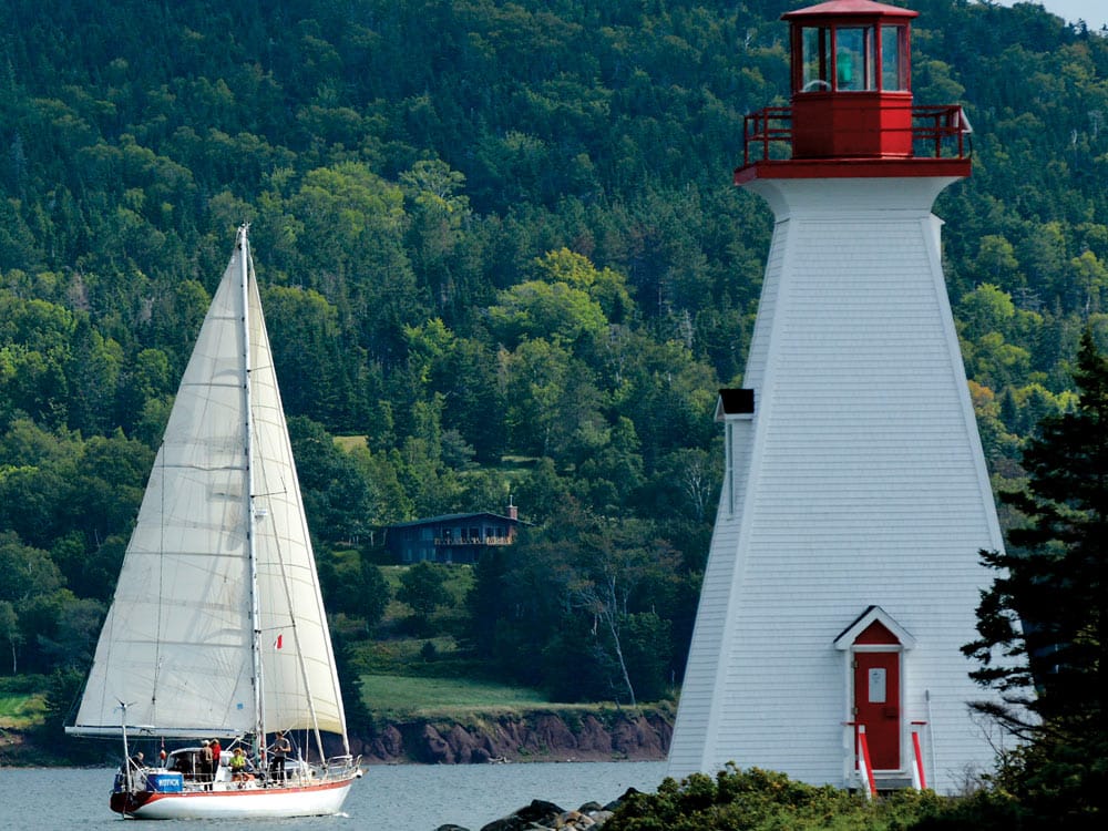
Back on board, at the back of the cove we saw a saddle of lowland, an isthmus of sorts, to the west shore. We continued on, and it didn’t take us long to circumnavigate this 3-mile-long island. A lighthouse stood on its northern tip, actually a rocky islet separated from the main island by a narrow cut, called Tickle on the charts but “Tittle” by Cape Bretonians. On the western shore, not far from the end of St. Paul, we came to Trinity Cove, where a reddish-sand beach might serve to land a dinghy if not for the pronounced swell.
RELATED: Newfoundland Has it All
Likewise, the high shore looked manageable to reach a small plateau, empty of any traces of a once busy lobster cannery. A small stream trickled down to the beach, obviously from one of the lakes midisland (their waters, according to reports, devoid of fish). No mammals occur here either. We expected to see many birds, but there were none except for one bald eagle and a few herring gulls — it’s no wonder that many shipwrecked survivors starved to death before anyone from the mainland could reach them across the rough open sea or, in cold months, through the broken, jumbled ice.
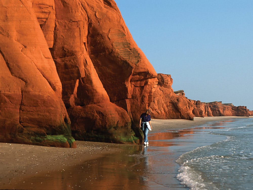
Our next visit was the Magdalen Islands, or rather, les Îles de la Madeleine (after all, this is Quebec). Before the days of radar, they must have made an even more formidable barrier in the Gulf of St. Lawrence than they do now. The group stretches right across the gulf westward for some 30 nautical miles — and more if you count the northern rocky outliers, Île Brion and Rochers aux Oiseaux, or le Corps Mort (!) off the southwest end. The entire skinny archipelago is shaped like a gigantic boomerang sandbar of red sandstone, and for centuries has been a trap to any vessel somewhat off course. Timber from wrecks survives in some of the oldest houses, and in at least one church. The dune-shaped heights on the main islands surround extremely shallow lagoons that are favorites with windsurfers skittering in high winds over tiny wavelets, some with water only inches deep. The lagoons also support mussel aquaculture.
Deep water near Île d’Entrée, off the group’s southern end, allowed close inspection of the cliffy shore that has eroded into bridges, arches and buttresses. Erosion has also silted a small manmade harbor that was off limits to Frances B‘s 7-foot draft. The northern shore, exposed to winter storms, rose in razor-sharp ridges and cathedral peaks. The swelling mounds of green midisland hills have great trails, and we waved to hikers high above.
Ashore in Cap-aux-Meules, at a restaurant called les Pas Perdus, we went through a bucket of mussels, steamed straight from the sea, the best of any we tried in the Canadian Maritimes. The Cap-aux-Meules harbor, with its high breakwaters, receives all the ferries and other shipping into the islands. The adjacent marina was chock-full of boats — a major change from a previous, memorable visit. Back in 2001, on 9/11, I was interviewing Camil, the owner and manager of the boatbuilder Entreprises Leo LeBlanc & Fils, for a magazine article, when his sister Suzanne burst in with the shattering news of the twin towers.
We thought the sandstone of the Magdalens quite red, but on our landfall off the East Point of Prince Edward Island, the low sunrise painted the cliffs almost purple. It took only a short sail to reach the port of Souris, which was humming with activity, with large ferries coming and going next to a marina filled with sailboats. In 1997, an 8-mile-long bridge was built that crossed the Northumberland Strait from New Brunswick and launched Prince Edward Island, previously known for lobsters and the best potatoes, into the mainstream of summer tourism. On the east coast, once-remote inlets such as Montague River now house busy marinas, but fortunately, Georgetown, at the river’s entrance, retains the charms of a small town with long maritime traditions. On the more populated south coast, Charlottetown, the capital of this insular province, was thick with summer visitors laying siege to the delightful restaurants in Victoria Row. Off the waterfront in Hillsborough Bay, an afternoon yacht race was in full swing.
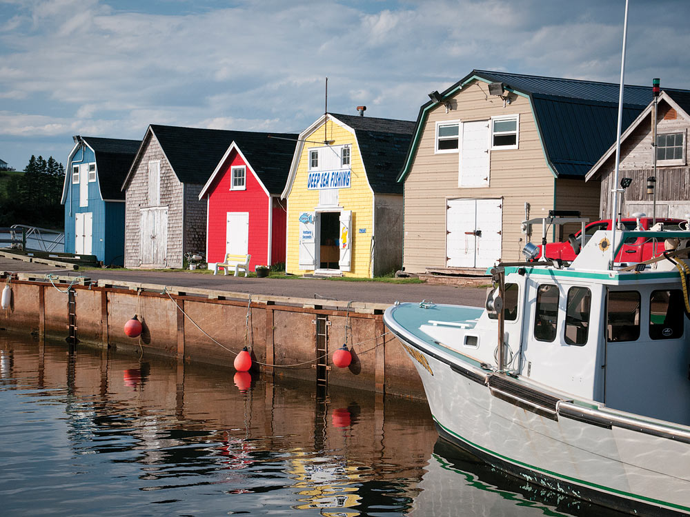
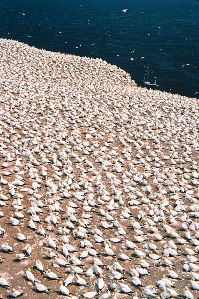
The air warmed up and the clammy fogs of the North Atlantic disappeared as Frances B headed north through Northumberland Strait toward Île Bonaventure. A nearby rocky heap, about a mile across and 250 feet high — hard to land on and even harder to scale — sounds like an odd cruising destination, but seabirds love it. Slowly, the island gained mass in the purple dawn light, and large birds levitated silently around us like ghosts — gannets looking for shoals of fish to feed their young. The sun appeared slowly, and the birds divebombed, piercing the sea, after prey. At first, the precipitous shores looked covered with patches of snow — but closer in, we realized we were looking at row upon row of kittiwakes settled on guano-pasted rock ledges. A flat slope well above was overrun by mobs of gannets, between 60,000 and 70,000 of them. To really experience the busy scene, we opted for a ride in a tourist boat from the mainland, about a mile away.
Calm weather was welcome because the anchorage off the village of Percé is quite open to any winds from south to northeast. The clear water revealed boulders dotted among the bottom seaweed, certainly calling for a tripping line on the anchor. At the bird refuge, we leaned on a railing an arm’s length from the immaculately white, elegant gannets, their faces and brilliant eyes pure art nouveau. We watched birds grooming each other affectionately, now and then stretching skyward as if beseeching the gods for healthy offspring. The pairs took turns shading their chicks, awkward with oversize feet and beaks, shedding fluff and snoozing between bouts of feeding. In a few months, these babes, after surviving their first takeoffs from the cliffs, would show up in our home waters in Georgia. The deafening din of thousands of birds calling and the powerful smell finally forced us into retreat. Back on the mainland, from the trail up Mont Ste. Anne, we looked on the cliff-lined shores and scalloped beaches as people the size of ants hopped on the rocky low-tide causeway toward Percé Rock, with its signature arch. In 2003, this rock appeared on the cover of Cruising World, with our previous boat sailing toward it.
Canso Strait, at the eastern tip of Nova Scotia, separates Cape Breton Island from the mainland. In 1955, the construction of a causeway with a lock tamed the fierce currents in the narrows of that passage. Working the fluky offshore westerlies, Frances B made a smooth passage south to the Canso Lock. A day later, we easily negotiated St. Peters Lock, the gate to the heart of Cape Breton Island: Bras d’Or Lake, an inner sea with fabulous summer cruising.
Baddeck, a town on the lake’s northern section, has most everything a cruising sailor might need or desire. The place, with a background of hills and mountains, once charmed Alexander Graham Bell enough for him to settle there. His experiments with hydrofoils must have brought more excitement here at the dawn of the 20th century than one can ever hope to see now. In 1917, he commissioned a 55-foot yawl for his daughter and her husband, Gilbert Grosvenor, the editor of National Geographic, a publication also inspired by Bell. On that yawl, Elsie, Bell presided at a meeting that led to the founding of the influential Cruising Club of America. The inventor’s spirit lingers in the area. From our anchorage between the wharf and Kidston Island, across the outer wide channel, in a forest grove high above the sea, looms Beinn Bhreagh, the Bell family mansion.
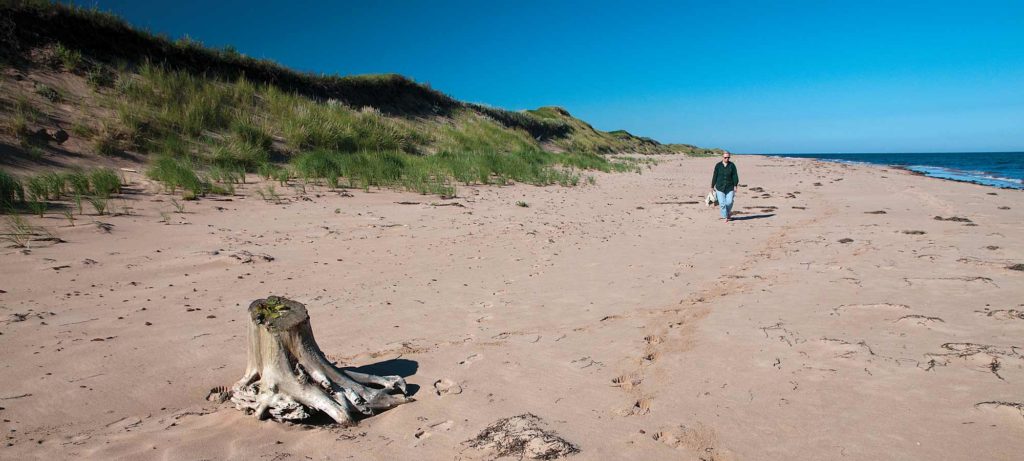
Wherever you roam, you needn’t travel far to find scenes of incredible natural beauty in the Gulf of St. Lawrence. For example, take the miles of sandy beaches and dunes at the Prince Edward Island National Park.
Bras d’Or Lake enjoys gentle weather with good summer sailing breezes. Fog, such a pest offshore, rarely occurs here. A plethora of protected, almost landlocked anchorages takes the worry of occasional tropical-storm winds off of one’s mind. Little Harbour on the Malagawatch Peninsula is a good example. A skinny thread of deep water led us into a bay bordered by forests. A massive log cabin, somewhat Alpine in character, overlooked the shore: Cape Breton Smokehouse, a lodge with a popular restaurant. Some years ago, the owners sailed into this bay after leaving Germany for a circumnavigation and fell in love with this land of forests, mountains and villages of people who keep up with their Scotch Celtic roots. In Maskell’s Harbour, not far from Baddeck, Frances B shared the anchorage with a flock of brown ducks busily nibbling underwater grasses.
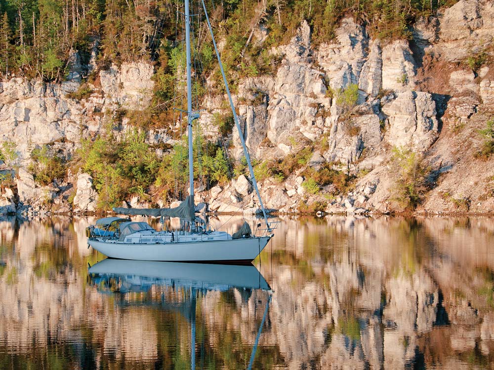
Although the tides in this inner sea measure in inches, the currents in the narrow north exit from Bras d’Or into Cabot Strait can run ferociously either way. To time our passage just right, we spent the night in Big Harbour, a tight inlet snaking into the hillsides. No other boats disturbed the pool of deeper water under its bluff of white gypsum. Suddenly, silently, a bald eagle plummeted from above, feet first, and then rose toward the treetops with a fish in his talons. Minute wavelets, the only evidence of the morning drama, spread out and rippled the mirror of calm water around the boat.
On the Cape Breton coast facing Cabot Strait, two harbors provide often welcome shelter. Though quite spacious, Ingonish feels tiny in the shadows of the mountains around it, which are part of the Cape Breton Highlands. Farther north, the working fishing harbor of Dingwall, backed by a tremendous dark wall of mountains, looks right into the strait. On a stroll in the outskirts south of the town, we bumped into a small lighthouse of riveted iron panels. It once stood on the south tip of St. Paul Island, read the plaque. Near it, in the gray shingle house of the St. Paul Island Museum, we heard from the descendants of the lighthouse keepers intimate accounts of their lives spent on that lonely outpost. Our cruise of the Gulf of St. Lawrence had begun at St. Paul Island. This, it seemed, was a fitting place to conclude it.
Tom and Nancy Zydler have been frequent contributors to Cruising World for over two decades. Last summer, they completed a clockwise circumnavigation of Newfoundland, “chasing seabirds” before heading south “to our usual haunts in Georgia.”

