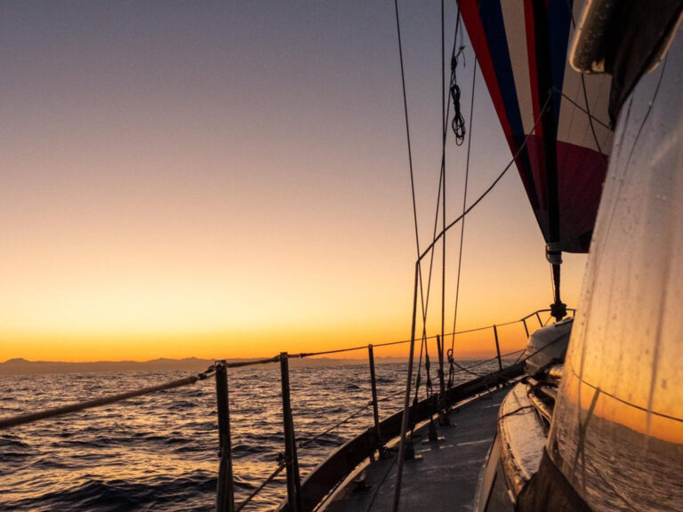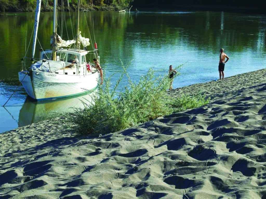
We sailed Condesa, our 1967 Salar 40 ketch, away from San Francisco, past Alcatraz and Angel islands, under the Richmond Bridge, across San Pablo Bay and through the Carquinez Strait, where it first started to feel like summer. On a rising tide with 20 knots of wind behind us, we covered 70 miles in daylight without breaking a sweat, sailing all the way to the delta in a long day.
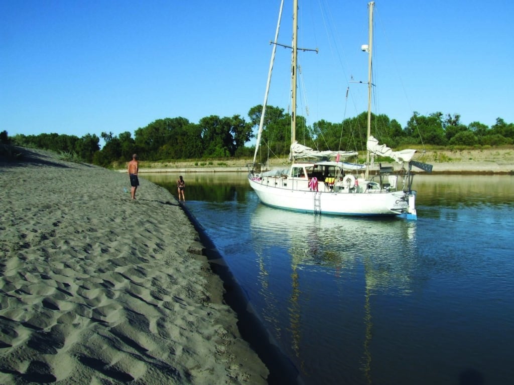
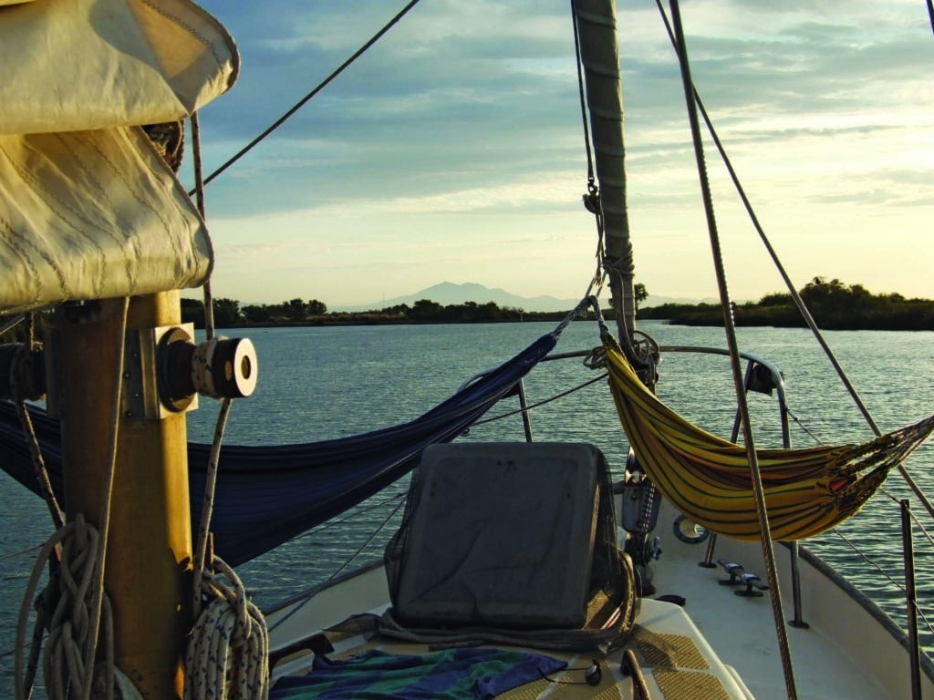
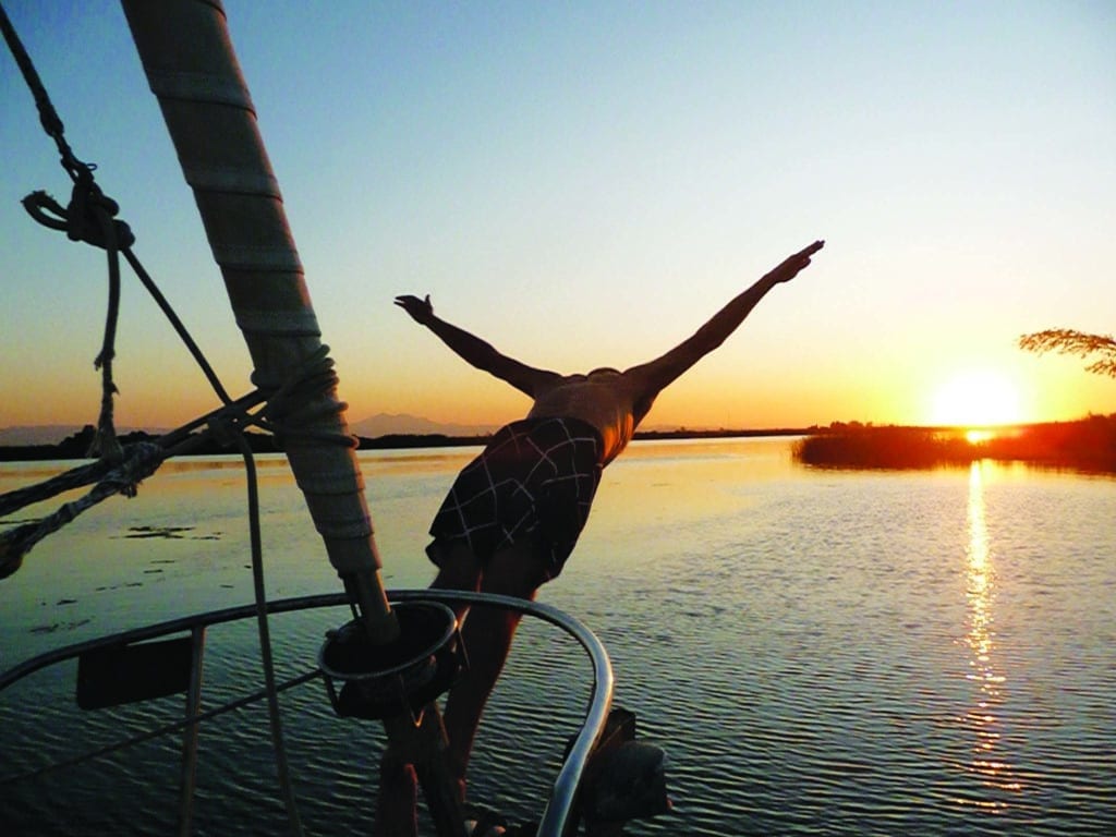
We’d shed the foulies and wool hats of San Francisco Bay for the bathing suits, sarongs and sun hats of the delta. The boat never rocked, which was good because the slightest motion sends our dog Lola’s claws into my brightwork. Towels drooped off the lifelines, wine glasses perched precariously over the companionway, two Ecuadorean hammocks flanked the foredeck and we never stowed the swim ladder. We’d become river rats.
After a few nights near Walnut Grove — not the town from Little House on the Prairie, but about the same size — we turned north up the Sacramento River. The delta’s waters are all contained within levees, but those built in the 1800s are so overgrown with oaks, cottonwoods, sycamores and blackberry vines that they seem wild. Newer channels, like the 30-mile stretch from Walnut Grove to Sacramento, resemble giant irrigation ditches, more post-apocalypse than natural. The 50-foot-tall riprap levees were so high on either side that no wind reached down to fill our sails or cool us off. “Maybe this is why nobody ever comes this far upriver,” we opined. Truckers and bikers waved as they roared by on the fringing highways.
During our cruise we requested 22 openings of 10 different bridges that cross the Sacramento. The bridge keepers always seemed happy, if not startled, when we called on channel 9. A hundred years ago these lift, swing and bascule bridges opened for 50 to 100 commercial vessels daily. Now they only open for a passing sailboat once or twice per day, sometimes only once or twice per week. The bridges are all staffed from 6 a.m. to 10 p.m., employing two shifts of full-time bridge keepers. We wondered if the light traffic might lead to automation — as on so many locks in Europe — or to tough luck for sailors.
We visited one friendly bridge keeper in her shack, and she assured us she had complete job security: “It’s a Coast Guard mandate! The boats were here first and they’ve got the right of way. The cars have to stay out of the way, so the bridges have to be ready to open.” Hear, hear!
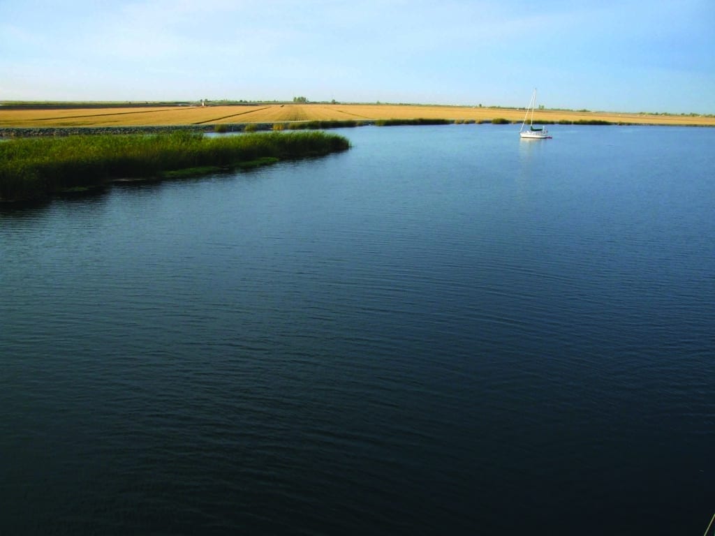
When I ended my circumnavigation in San Francisco a few years back, my dad gave me a stack of old government charts for the region. Chart 18667, Sacramento River — Fourmile Bend to Colusa, put out by the National Oceanic and Atmospheric Administration, triggered a memory from my childhood. Laid out in triptych, the chart’s three sections looked like the map of a river in South America or Africa. To a kid it seemed vaguely sinister because all the other charts showed vast stretches of water fringed by land, while Chart 18667 was all land cleaved by a blue snake of water.
My wife, Alison, and I were no strangers to the Sacramento/San Joaquin river delta: We’d taken several cruises to escape San Francisco’s notoriously cold and foggy summers, but we’d never ventured very far upriver. I perused Chart 18667 again and wondered just how far could we make it up that Sacramento River? The idea rekindled feelings of adventure from my circumnavigation, when sailing involved some planning, seamanship and risk.
It had been a wet year. High water levels would mean strong contrary current, but could provide enough depth to make it a long way upriver. At the same time we’d risk the worst grounding imaginable by going at summer’s end, when the water level would be on its way down until the following spring. Risks aside, it looked like we could put ourselves in a very unlikely spot on the map of California, a state not known for its navigable rivers.
As we neared Sacramento, trees and green banks reappeared. Our seven-hour motor slog up the burning trench was over, and we would soon be rewarded with what lay beyond it. I called a local marina, but they only had covered slips for powerboats. The woman on the phone offered, “You might be better off at the Old Sacramento Public Docks.” It turns out the city maintains nearly 1,000 feet of welcoming riverfront dock in the city’s historic center. The paddle-wheel steamer Delta King, now a floating hotel, is moored nearby, and all manner of restaurants, bars and re-created Old West streets lie just up the gangway.
Our marquee bridge in San Francisco, the Golden Gate, is not gold, but international orange. Sacramento’s Tower Bridge (not to be confused with the bridge on the Thames of the same name) is painted metallic gold, a 1935 classic in the Streamline Moderne style. At night the bridge is lit with spotlights, making the river and noble cruising sailboats shimmer with golden light.
My dad and his girlfriend, Bobbie, boarded the next morning and we set out for riperia incognita. I told my dad my intentions and showed him Chart 18667. He said, “Hmm.”
The Tower Bridge lifted for us, and a few hundred yards beyond it the I Street railroad and car bridge swung open. These two major thoroughfares shut down for 10 minutes, bringing the heart of the state’s capital to a grinding halt during morning rush hour, all so a family of Corona-swilling vacationers and their dog could go by in a sailboat. In a way, it was embarrassing.
We passed the confluence with the American River, its cold, clear water striking a sharp line against the murky Sacramento, then motored under some of the nation’s major arteries, Interstate 80 and Interstate 5. The current ran at only about 2 knots against us, so we could make 5 knots upstream with our Perkins 4.236 chugging away. Bass fishermen and houseboaters looked at us askance. One guy was so stricken by seeing a cruising sailboat that far upriver that he gave us a big salute and blew his air horn. He was drunk.
We kept passing buoys that said “Wing Dam,” a new term for me. According to Wikipedia, “A wing dam is a manmade barrier that, unlike a conventional dam, only extends partway into a river. These structures force water into a fast-moving center channel which reduces the rate of sediment accumulation while slowing water flow near the riverbanks.”
The wing dams were all completely submerged, and it wasn’t always obvious which side of a buoy to pass on.
After a few hours, we motored past the confluence with the Feather River, and the Sacramento became narrow enough to throw a rock across it. We meandered through Fremont Weir Wildlife Area, where the banks are overgrown and the river looks the way I imagine it did before man’s meddling.
About 35 river miles beyond Sacramento, we steamed into the town of Knights Landing and up to a closed bridge. Next to the bridge was a sign with a phone number saying they needed 12 hours’ notice to open it. It was late in the day and we’d seen an inviting sandbank a mile downriver, so we turned tail for the night, phone number in hand.
This spawned a truly ridiculous conversation:
“What highway are you on?”
“We’re not on a highway. We’re on the Sacramento River, on a boat, and the boat is too tall to go under the bridge, so we need the bridge to open so we can go through.”
“I’ve never heard of anything like that.”
“Well there’s a big sign on the bridge that gives this number.”
“This number? You’re kidding. I’ll have to call you back.”
He did call me back. In fact, several people called me back to tell me that no way, no how, was that bridge going to open for us. The bridge had opened about a year before for a test, but this year’s test had failed. My chart, Sacramento River — Fourmile Bend to Colusa, began four miles beyond that bridge.
The next day I set out on a three-mile walk up the levees to Knight’s Landing, in 110-degree heat, to buy some much-needed beer and mosquito repellent. I ran into a team from Caltrans, the state transportation agency, working on the bridge; the crew told me rats had gnawed its wiring. The electricians still had some work to do, and hoped for a test opening in the next few weeks.
Two of the engineers were local guys who knew the river. They said we’d only make it a mile or so beyond Knights Landing anyway, that the river was full of snags and shoals, and that we could walk across just five miles up: “I grew up in Colusa and I’m 40, and I know they haven’t dredged this whole stretch of river in my lifetime,” one of them said. The U.S. Army Corps of Engineers is supposed to keep it dredged to 6 feet, according to recent charts, and I would have liked to find out for myself.
Alas, we had gone as far as we could go. Still, if you look at a map of California, Knights Landing is an unlikely place for a cruising sailboat. My family’s 1963 copy of Chart 18667 might be a museum piece.
As I walked back down the levee toward Condesa, I met the caretaker at the Yolo Sutter Boat Club.
“You’re not staying at Portugee Bend, are you?” she asked.
“The nice beach, about a mile or two downriver?”
“You don’t have a dog, do you?”
“Yes, we do.”
“Well, we’ve got a mountain lion around here. She’s got cubs and that’s where she takes her kills. We’ve found 14 killed deer on that beach in the last year. She’s gone after a couple of dogs. I’d get out of there if I were you, and I definitely wouldn’t spend another night.”
Small-town people tend to gossip, but as I marched three miles down the levee with the 110-degree sun baking my head I got the heebie-jeebies. Come to think of it, Alison had been complaining about a dead animal smell ever since we’d first anchored there. The caretaker told me mountain lions can swim: They’d seen her swimming across the river on several occasions, and she was known to hunt on both sides of the river on the same night. But could she climb a swim ladder?
Instead of a macabre scene involving a half-eaten dog, I found Alison, my dad, Bobbie and Lola the Dog frolicking happily on the beach, and ready for that cold beer. “What took you so long?”
We relocated a few miles downriver to a sandbank in the Fremont Weir Wildlife Area. We’d made a habit of what we came to call banchoring, or bankering. The river was too narrow to properly anchor without blocking it, so a boat should anchor near the bank. The proper setup would be bow and stern anchors with bow and stern breast lines led ashore. Being much too lazy for this, we essentially ran the boat aground parallel to the bank and dropped anchor. With the rudder turned away from shore, the current held the boat just alongside the bank, and we could step from the swimming ladder into thigh-deep water without ever launching the dinghy.
The next day we charged lickety-split back downriver with the current to Sacramento, where we once again shut down the state capital’s downtown area while both major bridges opened. My dad and Bobbie drove home, and Alison and I spent another night at the Old Sacramento docks, eating haute cuisine on the riverfront in dog-friendly restaurants.
The rest of our delta trip was more traditional, which is to say a lot of gunkholing, lying around, overeating and drinking too much. It was Alison’s birthday, and one year since I proposed to her on the same boat lying in the same hammocks, so we drank the last bottle of leftover wedding champagne. We explored the sloughs of the middle delta and made startling discoveries, such as bodies of water, miles across, that weren’t on the chart. Recent flooding, perhaps?
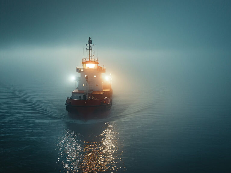
Sailing home, it was howling 30 knots and cold, with thick fog once we re-entered San Francisco Bay. Our radar display was scrambled, so the bottom of the picture was the top and the top was the bottom, but we could still tell when two 800-foot container ships lurked nearby. We scrambled to find the hats, sweaters and foulies, Alison felt a little sick, and Lola dug her claws into my brightwork.
Clark Beek circumnavigated for 10 years aboard his 40-foot Laurent Giles-designed ketch Condesa. He now lives in Mill Valley, California, where he works as a marine electrician and charters Condesa on San Francisco Bay.

