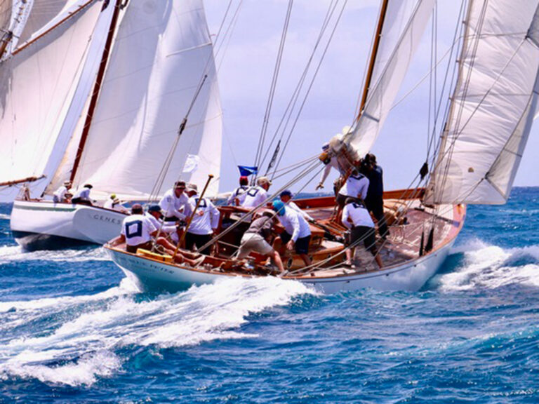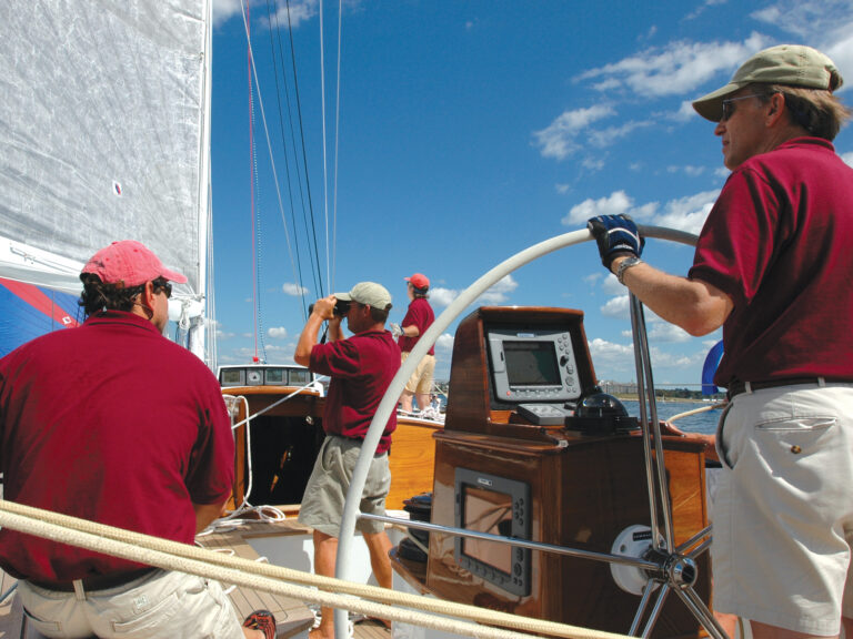
We have about 6,000 nautical miles to cover in something less than four months. That’s going to require sailing an average of 71 nautical miles a day, moving about as fast as a fit marathoner could run. That’s a lot of sailing. The downside of having so much ground to cover is that we don’t get to stay and relax and explore the amazing places we visit. The upside is that we get to visit A LOT of amazing places. In our first month, we have anchored or docked in 18 different places, enjoyed 5 lay days, and spent 6 nights on passages.
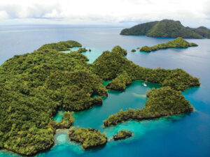
While we had all spent time cruising in the inside passage before, nobody on board had been to Haida Gwaii, the string of 150 rugged islands set 130 nautical miles northwest of Port Hardy (the northern corner of Vancouver Island). While it is not a particularly long passage, the waters squeezed between Haida Gwaii and the mainland are renown for unpredictable winds, washing machine seas and dense fog. It is not passage to be taken lightly. Our dream was to be able to sail to Haida Gwaii, but our schedule did not allow indefinite lingering to catch the right weather window. We were prepared to continue north along the inside route, if the forecast demanded it.
The winds were on our side this time. Bolstered by an unusually tranquil weather forecast in Queen Charlotte Sound, complete with light southwest winds accompanied by low swell, we turned the bow towards these illustrious islands instead of tucking into the protection imparted by the string of islands along mainland British Columbia.
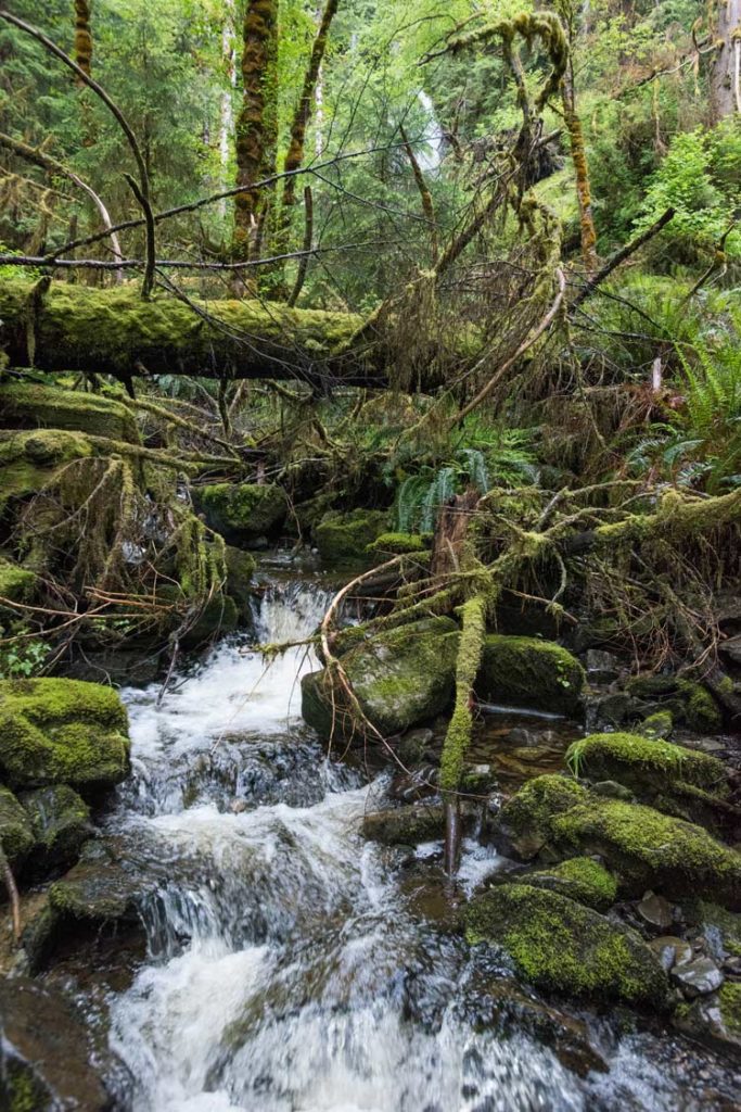
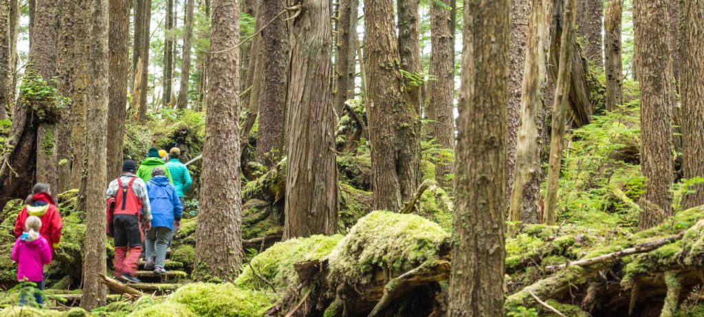
It was a risk well worth taking. Haida Gwaii (previously known as the Queen Charlotte Islands, until 2010 the BC government agreed to rename it Haida Gwaii, which means “Islands of the People” in the Haida language) is an ecologically diverse and culturally rich area dotted with volcanic cliffs, white sand beaches, old growth forests, ancient totem poles, and some of the oldest known human remains in all of North America. The southern quarter of the island chain encompass the Gwaii Haanas National Park Reserve and Haida Heritage Site, a unique protected area co-created and cooperatively managed by the government of Canada and the Council of the Haida Nation. It is a remote and resilient part of the world; the only way to access the park is by boat or float plane.
Permits are required to enter the park, so we reached out to the main office in Skidegate once it was clear we would be able to make the passage. They sent a fairly in depth set of forms to complete, including details about our route, daily stops, passport numbers and emergency contact information. We then received the required orientation – an 80-page PDF describing the formation of the unique management partnership, the popular stops within the park, and the regulations imposed on all visitors. I read it aloud to the gathered crew as we bobbed across Queen Charlotte Sound, which was a surefire way to fortify our excitement to visit such a unique and remote place.
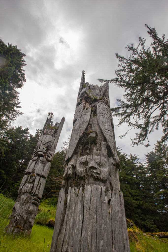
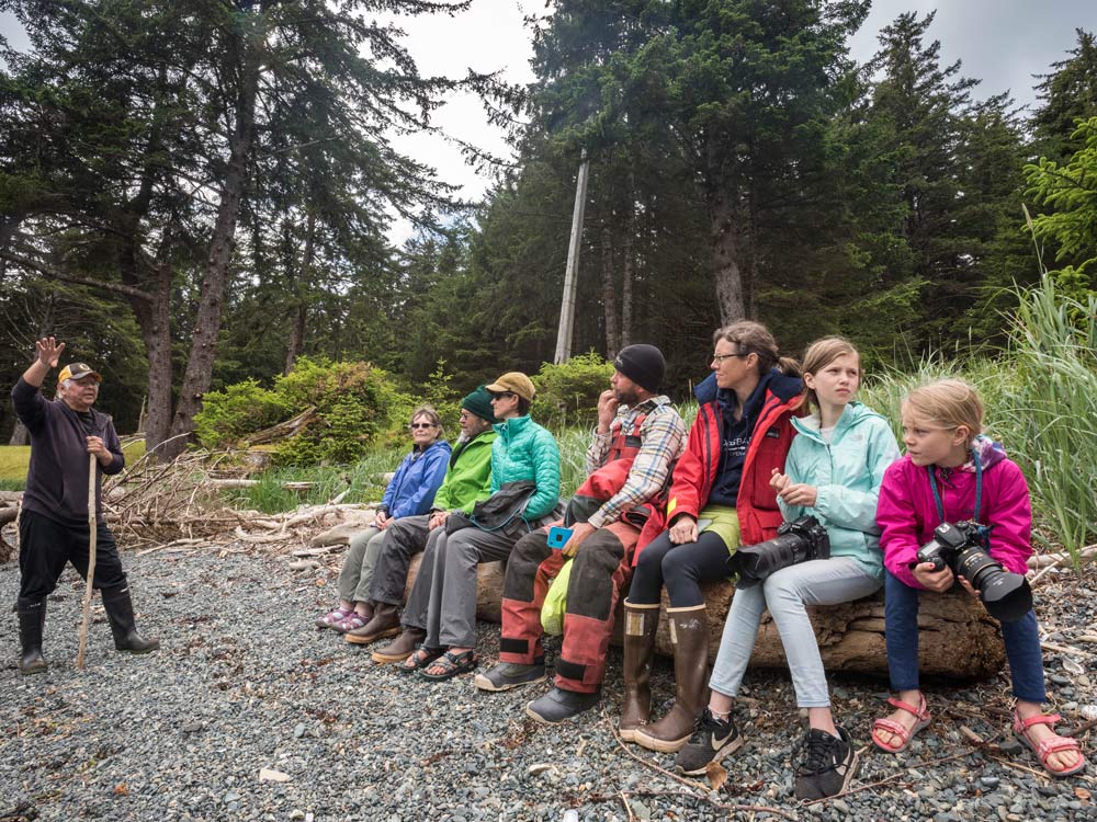
Our time in Gwaii Haanas began at SGang Gwaay (or Anthony Island) with a tour of the ancient village site and the totem poles still standing watch over the remains in honor of admired leaders. This village once housed some 200 Haida people but, like so many native villages around North America, contact with European traders in the late 18th and early 19th centuries brought disease and strife to the Haida people. After small pox swept through the islands, the village was abandoned in 1884. It was a compelling sight – those strong mighty totems standing guard over the crumbled remains of a once formidable village – paired with our tour guide’s captivating stories and palpable deference for his ancestors, and a powerful way to begin our tour of Haida Gwaii.
While in Gwaii Haanas, we also visited Gandll K’in Gwaay.yaay (Hot Springs Island) for a coveted soak in the naturally formed and perfectly heated springs. These springs, used for thousands of years by Haida fishermen and travelers for their healing powers, suddenly dried up in 2006 after a powerful earthquake shut off the mysterious water supply. Slowly, over the course of the following decade, trickles of hot water appeared in new places until new pools were formed, ranging from a scalding 120 degrees Fahrenheit to a perfectly revitalizing 102 degrees Fahrenheit.
With a southeast storm on our heels, we sailed north out of the park and found protection in the aptly named crescent cove for a welcome storm-induced lay day. In the evenings, we shared our cove with a family of black bears happily chomping on crustaceans along the tidal zone. Our afternoon bushwhack adventure, undertaken to stave off cabin fever, offered evidence of regularly used bear trails and long abandoned logging sites. As we scampered, we called out pleasantries to the bears to ensure they always knew where we were and that we appreciated their graciousness to share their home woods with us.
Once the southeast storm rolled by, we continued our sail north along the eastern edge of the islands, but we were soon stalled again as we looked towards the 140-mile exit from Haida Gwaii and across exposed ocean swell to Alaska. Strong northwest winds held us in Queen Charlotte city but couldn’t keep us from exploring. We launched a fishing expedition through “the gut”, the narrow and shallow channel of water separating Moresby and Graham Islands that weaves between sandbars and funnels up to 8 knots of current between tides. Emerging on the west side of the islands, we bashed against steep seas and fished through some of the best salmon fishing grounds in the world…allegedly. We didn’t get a single bite, but we did get spectacular views of the dramatic mountains and deep fjords that slash through the west coast of the islands.
We rented a car and drove the length of the single road on Graham Island, stopping at anything that looked interesting along the way. We toured a quirky old logging museum, boasting antique bread makers, VHF radios and baby carriages along with the expected logging equipment. We clamored up Tow Hill for impressive views of the winds we were avoiding in Dixon Entrance and the smudge of Alaska’s shores on the horizon. We also managed to get our laundry done, take shore showers, play games and catch up on sleep. Haida Gwaii, we decided, is not such a bad place to wait out weather.
Eventually, the northwest winds weakened long enough for us to leave Haida Gwaii and make the jump to Alaska. Despite the bonus days in Queen Charlotte city, our time in Haida Gwaii felt unsatisfyingly short. It is such a diverse and intriguing place, though, that even a month might feel too quick to see it all. As we sailed north and I looked back at the lush green hillsides, I knew that this was only an overview trip, that I would find my way back to the Islands of the People to spend more time in their rugged beauty and elaborate culture. And then I looked forward, to the 5,300 nautical miles ahead of us. We have many more places to visit.

