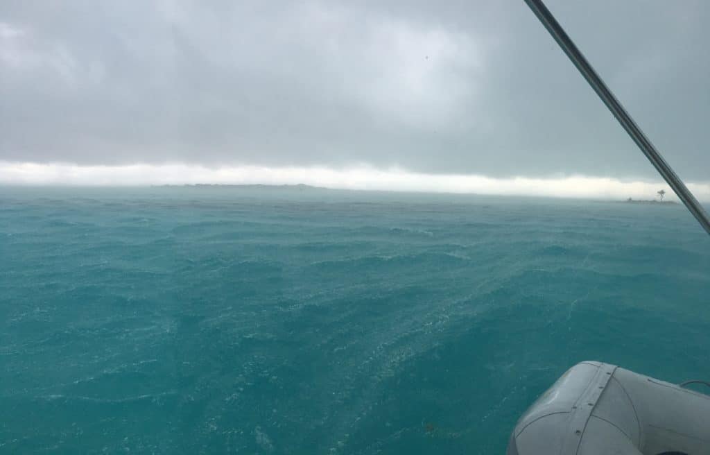
Good ground tackle, adequate scope and shelter from the storm:
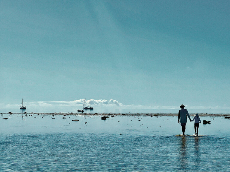
High-quality anchors, rode and snubbers (or bridles for multihulls) should be a given. In the Bahamas, the primary kit of choice is a modern-design hook such as a Rocna or Spade and 150 to 200 feet of quality chain. Anchoring depths in the Exumas are typically around 10 feet, so paying out 100 feet of rode gives a 7:1 or greater scope. A Fortress or Bruce with chain and nylon rode that can be instantly deployed in an emergency is common backup gear. For catamarans, a sturdy bridle is a must and for monohulls, a good snubber. Although some boats that had the right ground tackle still dragged in this storm, many others did not. With the right anchor and rode, properly deployed and set, the odds of staying put increase significantly. Finding the right spot can be a much harder proposition and when severe weather is a possibility, the best anchorages can get dangerously crowded. There are few spots in the Exumas, for example, to protect against westerlies. Considering the uncertainty of the forecast in the days before this system came through, it was worth seeking out the best available shelter, even if it meant an expensive stay in a marina.
If it’s time to move on, don’t wait:
Like the saying about reefing when you first think of it, you should do the same if you’re even slightly uncomfortable with your anchoring spot. Cathy Kreyling on White Bird at George Town readily acknowledges that she and husband Peter “made a critical error” by not moving across the harbor when a wind shift turned the beach into a lee shore. “When the wind started to go west and we saw that crazy sky, we should have said to ourselves ‘even though it’s sunset and we’ve had a rum punch, we need to move now.’” Peter Malloy on Neko advises: “Have a plan to up anchor or drop it and go at a moment’s notice. Have a backup anchor and backup bridle ready to deploy at all times. … Scope out an alternative location ahead of time if you need to ditch.” Getting to a better anchorage early also gives you the best odds of finding (and defending) a good spot once you get there.
Get your motor running:
Nearly everyone interviewed for this story used their engine to try to prevent dragging and dodge other boats that were already dragging. Results varied. Many, like Ken Pimentel on Dream Catcher, report that it proved easy to overdo it: “What I ended up doing was throttling up too far and overriding my anchor and actually closing the gap with the boat ahead of me that was dragging,” he says. Peter Kreyling on White Bird says it was difficult to find the proper speed and the right touch on the helm: “The wind would catch us by the side and I’d do a doughnut. I was really worried about wrapping around the keel,” he says. The general consensus seems to be that motoring into the melee is the right move, but that you should use just enough throttle to check the boat’s strain on the ground tackle. Care must also be taken not to over-steer, lose control and turn beam to.
Secure the dinghy:
Numerous people lost dinghies or saw them turn turtle on the end of their painters. If you have davits and are expecting squally weather, it might be smart to lift the dinghy. Likewise, secure it on deck if that’s the way you normally stow the tender. A decision to put it aboard, however, needs to be weighed against the negative of adding more windage to the boat’s profile. “Lots of dinghies flipped,” says Doug Kisling, who went through the derecho with his wife Karrie at Staniel Cay aboard their Leopard 40 Cay de Cay. “On the radio the next morning, one woman described how her inflatable basically did spins in the air,” he says.
Let there be lights:
Darkness mixed with heavy wind-driven rain made visibility next to nothing in many anchorages. At Staniel Cay, for example, many boats not only switched on anchor lights, but navigation lights and even deck lights. Strictly speaking it might not be legal, but sometimes extreme circumstances call for on-the-spot innovation. “Having the nav lights at eye-level was definitely helpful. It allowed us to judge our position relative to everyone else,” says Doug Kisling on Cay de Cay.
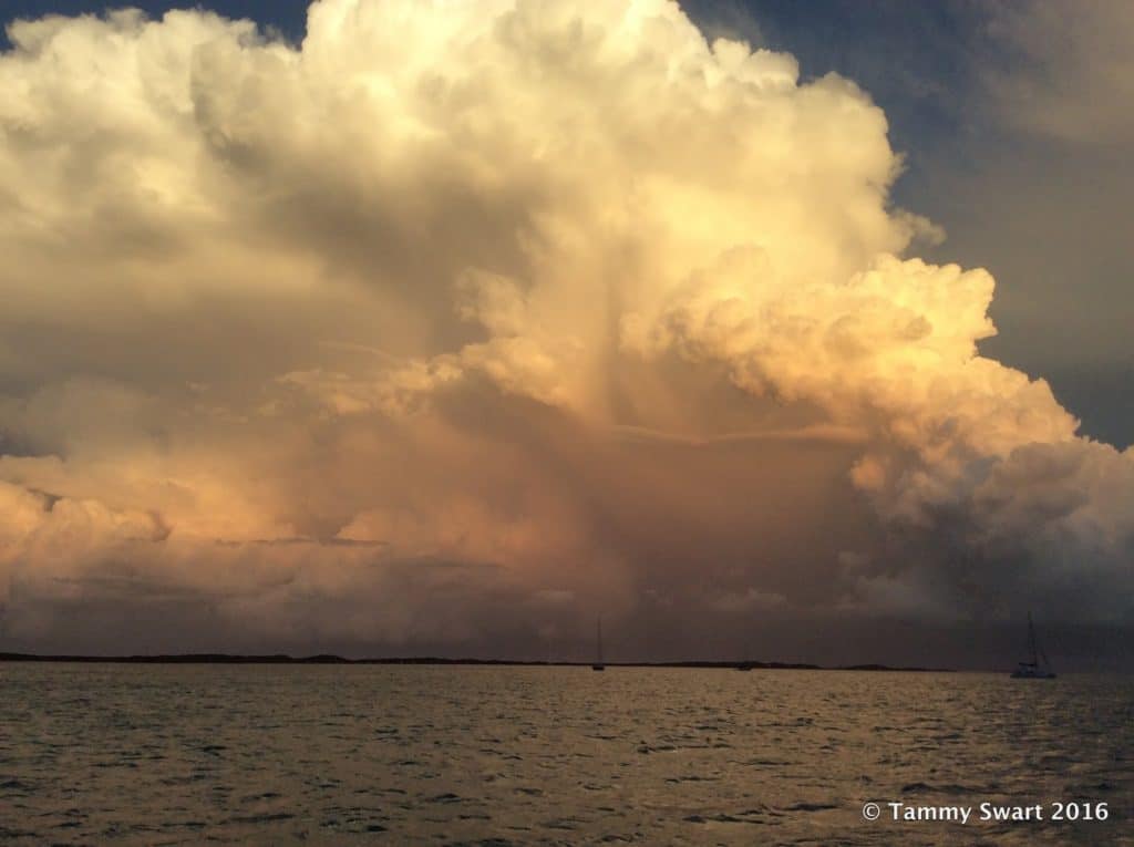
A Q&A with Chris Parker, chief forecaster at Marine Weather Center
Scott Neuman: In simple terms, what is a derecho?
Chris Parker: First, I can’t say for sure the weather event parts of the Bahamas experienced in the late afternoon of January 6, 2016, was a derecho. But multiple independent reports of the event and satellite observations suggest this event met all the criteria to be classified a derecho.
A derecho is essentially ‘a self-sustaining linearly-organized storm.’ A derecho often starts as a series of outflow boundaries/gust fronts extending from squalls/T-storms, advancing ahead of a pool of cold air aloft. Over time, these outflow boundaries/gust fronts can merge into a long line, and be self-sustaining.
To meet the definition of a derecho, the wind event must extend more than 240 miles (from end-to-end), include wind gusts of at least 50 knots, and have several, well-separated 65-knot gusts. Winds are ‘straight line’ in nature (rather than circular like in a tornado or hurricane), and typically blow perpendicular to the motion of the derecho. Winds are supported not by the collapse of towering cumulonimbus clouds (as are typical squalls/T-storms), but rather by the inflow of warm air from ahead of the derecho inward and upward into the pool of cold air aloft behind the derecho … and fast-moving down-rushing air from the cold pool sustains the progressive gust front with the derecho.
Derechos typically form on the equatorial side of the Jet Stream, with strong wind-shear. The leading edge of a derecho is often marked by some sort of a shelf cloud.”
How common are they?
Derechos are rare — especially in moist environments, where inhibiting factors include abundant low-level clouds and less-cool air aloft. In 13 years of forecasting the weather every day for the Bahamas and Caribbean, I have never seen a weather event like this. The most notable recent derecho may be the one that moved from the Ohio Valley through the Mid-Atlantic States on June 29, 2012. Though less common in moist environments, the March 12, 1993 ‘Storm Of The Century’ may have triggered a derecho in parts of the Gulf Of Mexico, Florida, Cuba, Bahamas and adjacent Atlantic waters during the early stages of the storm.
Do you see a link between El Niño either by itself or in combination with rising temperatures (i.e., climate change) as having any link with the derecho?
Certainly the strong sub-tropical Jet Stream, which was in place across Florida and parts of the Bahamas January 6, 2016, supported the wind shear, pool of cold air aloft, and eventual cyclogenesis (formation of a LO), which were important factors leading to the weather event. And the active sub-tropical Jet Stream was likely enhanced by El Niño. I hesitate to link any single weather event to climate change. But I suppose if there were a causal link between climate change and this year’s vigorous El Niño (which I’m not saying there is), then, since El Niño is an important factor supporting the sub-tropical Jet Stream, climate change could be a contributing factor.
Beginning on January 4, 2016, our forecasts mentioned the possibility this LO which formed January 6 night NE of the Bahamas could acquire tropical characteristics. On January 13 the LO became “Alex,” and a day later was Hurricane Alex.
I understand from talking to other cruisers that you had been warning of a potentially dangerous system — although perhaps not as powerful as it turned out to be (correct me if that’s wrong). Can you elaborate?
Our forecasts on January 4 and 5 discussed in detail the uncertainty of the anticipated weather event. Our best-guess forecasts were for 10-knot to 25-knot sustained winds clocking from S to W in direction with a few squalls to 45 to 50knots. So yes, we predicted inclement weather, but it did not seem to us there was a significant risk of severe weather.
What were your thoughts and concerns for cruisers when you realized the potential power of the system?
Most popular anchorages in the Bahamas are well protected from typical easterly trades. Anytime wind blows from a different direction, many anchorages become uncomfortable or even untenable.
But the sorts of preparations a prudent mariner makes for wind from odd directions of 10 to 25 knots with a few squalls to 45 to 50 knots is different from 30 to 60 minutes of 50 to 65-plus-knot winds.
When the first report of strong wind arrived, I assumed it was either isolated or exaggerated. But when multiple contemporaneous reports from many different locations arrived (some with pictures of wind instruments and menacing clouds), I knew there would be lots of damage to vessels.
Can you give some particulars of observed/reported wind speeds, waves, etc. in different locations down the Exumas? What time exactly did the system hit various parts in the cays and how long did it last?
The weather event which occurred January 6, 2016 was:
–documented by ASCAT satellite from 25N/79W-Havana at 10am, with sustained winds averaged over 15km areas of 40k. I believe the feature moved slowly at first, then accelerated E-ward in the afternoon
–moved thru most or all of Eluthera and the Exumas between 6pm to 7pm
–about 300mi from end-to-end, and persisted along a path over 400 miles
–vessel in Rock Sound Eluthera reported W-NW over 30k with gusts to 53k, lasting 60 minutes
–Georgetown Exuma reported 75k
–Cambridge Cay Exuma reported 60-70k sustained and gusts to 106.3k
–Staniel Cay Exuma reported NW wind about 50k for nearly an hour
–reports documented straight-line winds, mostly uniform W-NW wind direction (perpendicular to the squall line)
–visible and enhanced infared satellite imagery documented pool of cold air aloft located behind the squall line
–cloud top temperatures of -30C to -40C alone would support the conditions we predicted – but not the intensity nor duration of the observed wind event
–relatively-dry (cloud-free) conditions ahead of the squall line were documented by satellite imagery and on-scene photos
–some sort of a shelf cloud was clearly visible in many of the photos I saw taken in Georgetown just before the event
–this occurred along the SE side of sub-Tropical JetStream, in an environment of strong wind shear
What do you think ought to be the takeaway for cruisers from an event like this?
Pay attention to weather forecasts, and be prepared for conditions predicted. In this case, vessels should have been prepared for an interval of 40 to 50-knot wind. In addition to the numerical forecast, we include a great amount of detail on what’s driving the weather. On January 6, vessels relying on our weather forecast would have known the forecast was very uncertain (we discussed uncertainties in detail on our SSB Voice Nets and in our email forecast dedicated close to 1,000 characters describing uncertainties and forecast possibilities for January 6). If I were a boater in the Bahamas who received our forecast on January 5, I would have been in a secure anchorage that provided all-around protection due to the uncertainty and expected strength of the weather event predicted for January 6. But I would have been surprised to see wind in the 60 to 106-knot range.


