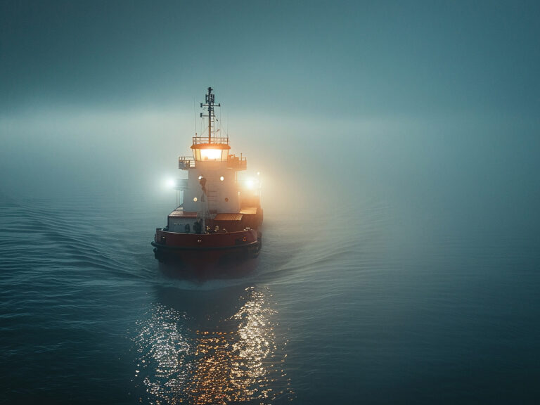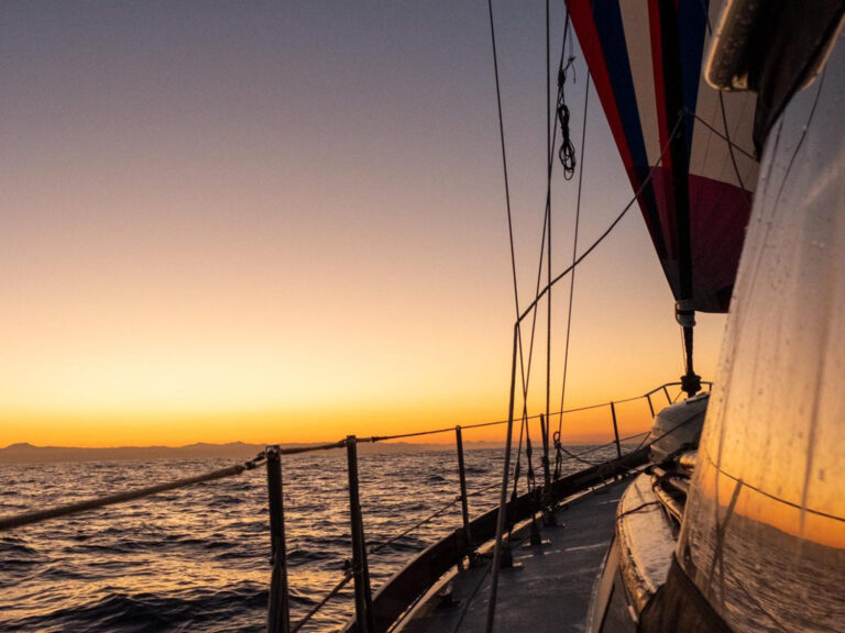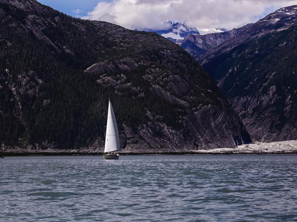
The currents were running fast. The bow was pointing 45 degrees northwest of my actual course, which was through a narrow pass between the shore and a nav buoy marking an underwater ridge, the moraine of Baird Glacier. The glacier had retreated a long way since forming that moraine, several miles up the bay to where it ends a few yards from the tide line. Yet it still makes itself felt. As soon as our cutter, Celeste, raced past the buoy, the color of the water changed. The division was as stark as the Gulf Stream and the Gulf of Maine: a sharp line between the dark blue of the outside channel and the milky green of the bay’s glacial meltwater.
We’d just entered Thomas Bay in Southeast Alaska, a large indent on the mainland coast 5 miles north of Petersburg. My husband, Seth, and I had come to see the glacier and to hike the trails into the mountains. We both love to sail and love to hike, so Alaska is a perfect cruising destination, with trails climbing into empty alpine territory right from the rocky beaches.
The glacier was first on our list though. The currents weakened inside the bay, so Celeste lost speed until she was ghosting past steeper and steeper mountains. Snow became visible on the highest peaks. The air temperature dropped perceptibly. We donned jackets and then hats and mittens. We spotted a small growler—the first bit of ice—off the port bow. Soon the glacier hove into view, a tiny strip of grass separating it from the ocean. I slipped into the dinghy to photograph Celeste and quickly discovered how much warmer the cool air was than the frigid water. Celeste was distorted by a heat mirage, the warmer air shimmering above the glacial meltwater in which she sailed.
RELATED: A Return to Cruising in Alaska
The next morning, we woke in an anchorage halfway down the bay. A waterfall thundered off our stern, and our intended trail began just a few yards from it. Once we’d carted our dinghy, Li’l Namba, above the high tide line and tied it to a tree, we started up the moss-covered boardwalk. Past the waterfall, it became a much rougher trail, with boulders and branches to climb over. In some places, the US Forest Service had cut steps into fallen logs and covered them with fishing net to provide a grip on invariably wet wood. We skirted the edge of a cliff that plunged to a gorge of white water. Reaching a fork in the trail, we chose to climb to Upper Falls Lake. The trail was completely disintegrated; we bruised our shins on rocks and logs, and sank to our ankles in muskeg. We were probably the first people to use it in years. We turned around when we found fresh bear scat accompanied by prints: one large set and several small—a grizzly with cubs.
Back at the fork, we followed the real trail to Lower Falls Lake, where we discovered two large Forest Service row boats for hikers to use. This was an unexpected bonus: a hike and a dinghy adventure in one day! Rowing out on the placid lake, we heard the thunder of a much larger waterfall than the one in our anchorage. Then there it was, cascading down smooth rocks into the lake, wisps of spray flying out to catch the sunlight in little rainbows.
After lunch an hour or so later, we had just resecured the Forest Service dinghy when more hikers appeared, talking loudly in case of bears. Seeing us, one of them exclaimed, “Li’l Namba, I presume.” Here we were, four hours up a mountain trail, meeting fellow mariners. But that’s Alaska.

