Nautical Chart Smarts
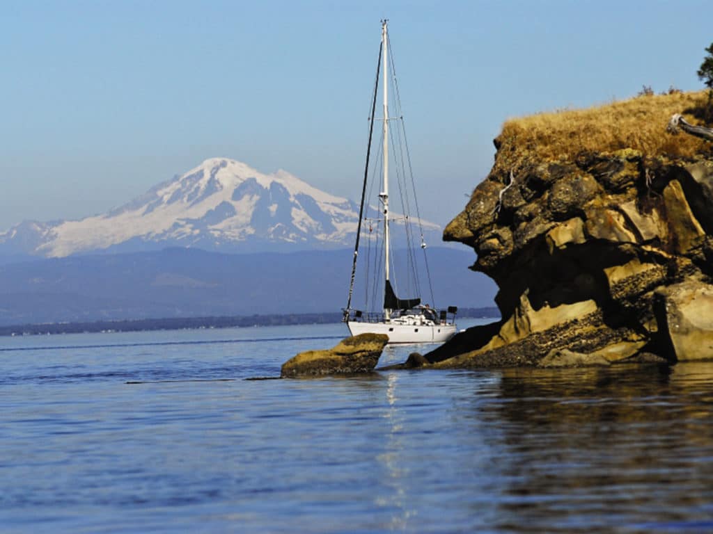
By studying cartography, cruising guides and weather patterns ahead of time, a skipper can enter unfamiliar waters with a good idea of what lies ahead.

By studying cartography, cruising guides and weather patterns ahead of time, a skipper can enter unfamiliar waters with a good idea of what lies ahead.

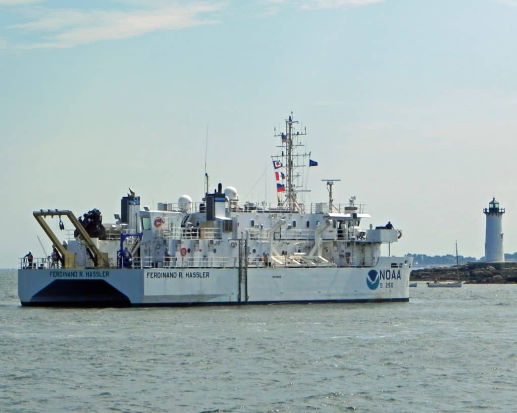
There’s a boatload of electronic data available online to U.S. sailors. Here are some tips for navigating your way through it all.

New charts cover from Rhode Island to the Canadian border.

By studying cartography, cruising guides and weather patterns ahead of time, a skipper can enter unfamiliar waters with a good idea of what lies ahead.

There’s a boatload of electronic data available online to U.S. sailors. Here are some tips for navigating your way through it all.

New charts cover from Rhode Island to the Canadian border.
Sign up for Cruising World emails to receive features on travel destinations, event listings and product reviews as well as special offers on behalf of Cruising World’s partners.
By signing up you agree to receive communications from Cruising World and select partners in accordance with our Privacy Policy. You may opt out of email messages/withdraw consent at any time.